3/28/2017
With a long travel day planned, we wasted no time dropping our lines from the free dock in Myrtle Beach and getting underway. Shortly after leaving the dock, we encountered some traffic blocking the waterway.
 |
| Boat traffic ahead - lots of it! |
The captain of a small boat with an outboard yelled to us to keep to the right as we approached the bridge. He seemed frustrated when I told him I would comply to the extent we had enough water on the far right to do so. We certainly did not intend to run aground to let them have the full waterway width.
However, as we got closer to the boaters, a woman in another outboard-powered rowboat used her megaphone to tell them to move to the sides. They scattered in both directions. As Clark said, "So much for keep to the right". We now needed to go straight down the center.
 |
| Sculling Boat Crews |
All but one of the crews pulled way over to the sides. We could hear the woman with the megaphone chastising that one crew for making us go around them. Slowly they too moved further over to the edge of the waterway. As we passed the last crew boat, we heard someone yell, "Thank you for the no wake!" Since Clark has a sculling boat, we know how unstable they are. He went past them all at idle speed.
 |
| One Sculling Boat - out of line |
As we passed through this area, I got my first look at spring. Two beautifully landscaped houses had bushes in bloom.
 |
Tiered Landscaping at one house and
Colorful Bushes Flowering for Spring at the neighbor's |
Across the waterway, however, lay some landscaping done by nature for comparison purposes.
 |
| Spanish Moss on River Bank |
Further on down the river, we saw some more interesting sights.
 |
| DANGER - ROCKS! |
In keeping with his desire to capture the "view down the tracks", Clark decided to take a picture of the "end of the road".
 |
| "The end of the road!" |
 |
| Hot Pink House with Purple Docks - hard to miss this one! |
 |
| SC Lighthouse |
Just before leaving South Carolina, we saw two rather large ships at dock in North Myrtle Beach. They turned out to be floating casinos.
 |
| The Big M Casino - Ft. Myers Beach, FL (Home port) |
 |
| Big M Casino |
A short distance down the ICW we passed the inlet that these casinos use to take their customers 3 miles out into the Atlantic where they can gamble to their heart's content. Immediately after the inlet, we entered North Carolina.
As with South Carolina we saw the effects of Hurricane Matthew. We saw many docks in need of repair. Whereas in SC, we saw a few sailboats that had suffered badly from the storm, here we saw fishing boats that had paid the price.
 |
| Wrecked Fishing / Shrimp Boat |
 |
| Another "dead" fishing boat further down the ICW |
Continuing onward, we came upon a large waterfront property covered completely with campers of all shapes and sizes. I doubt there was an empty space anywhere!
 |
| Mammoth Waterfront Trailer Park |
On our route, we have seen lots of boats working on the river. Today we passed one set that together made a very colorful picture.
 |
| Brightly-colored Work Boat |
In North Carolina, as in South Carolina, the docks have to span the marshes to get people from their homes to their boats on the waterway. I still think the docks in South Carolina get the prize for the longest. Perhaps North Carolina gets the prize for closest long docks together.
 |
| North Carolina Docks |
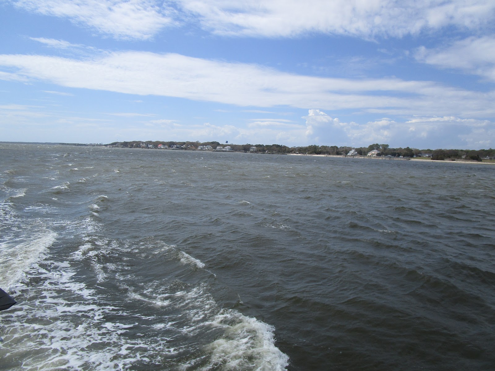
We traveled protected waters through South Carolina. What a contrast when we entered Cape Fear River in North Carolina! Here we found wind, current, and choppy waters. I looked back at my blog entry from last year and found similar conditions as we made our way through here to Bald Head Island.
 |
| Cape Fear River |
 |
| Tug on Cape Fear River |
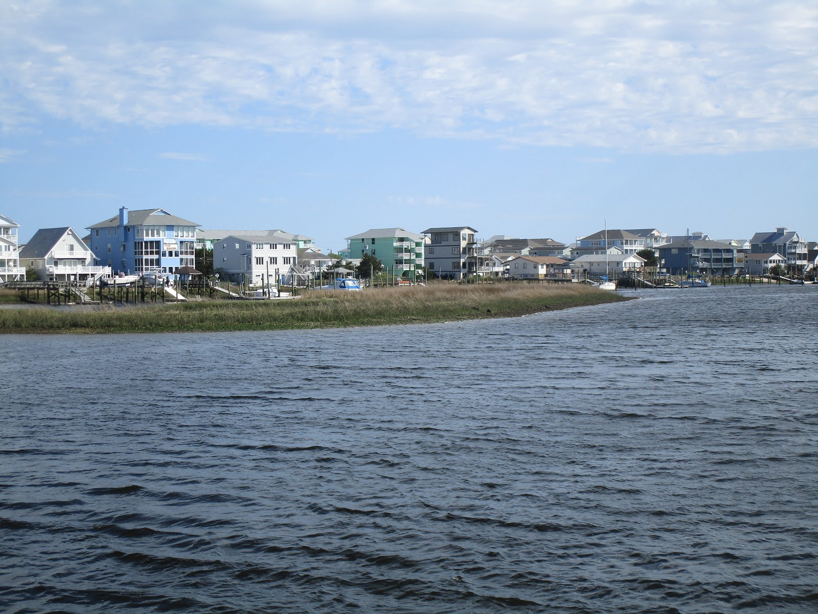
After seven hours of traveling the ICW through the Carolinas, we were definitely ready to call it a day. Clark had identified an anchorage in Carolina Beach, North Carolina as our stop for the night. As we turned to enter the channel to the anchorage, however, we found the water to be too skinny to pass.
Clark tried several approaches to the channel. Each time the water rapidly dropped down to ridiculously low numbers of inches below the keel. The lowest we saw was 0.6". Yikes! As we struggled to find a way in, we heard a woman's voice come over the radio. "If you want to come in here captain, you'll need to hug the red marker." Clark called back with a thank you and made his way through the channel entrance to the anchorage beyond.
 |
| View from Anchorage at Carolina Beach, North Carolina |
 |
| Mooring Ball Field next to anchorage with $20 per day fee |
 |
| Sunset in Carolina Beach, NC |
 |
| House Windows reflecting sunset at Carolina Beach, NC |


In the photo labeled "Danger-Rocks", the small square building with large disc on top is a VHF aid to navigation for aircraft, called a VORTAC, located at North Myrtle Beach airport located adjacent to the ICW. Trivia: Its name used by pilots and air traffic control is "Grand Strand" and operates on frequency 117.6 MHz. For reference, marine VHF communication radios use frequencies (roughly) from 156-162 MHz.
ReplyDelete