Friday, March 31, 2017

New Bern - chores day

3/31/2017

For all intents and purposes, I never set foot off the boat today even though we are in port. While waiting for the rain storms to pass this morning, I baked one of Clark's favorite desserts - applesauce cake. Then I started in with organizing and cleaning the interior of the boat in preparation for our guests that are coming on Tuesday. After so many grueling long days on the water, I found it relaxing to be in port even if it meant keeping busy with housework.

Clark had all sorts of email and tax work to keep him busy. He did get off the boat to go up to the dock master's office to register us for the week we plan to be here. As soon as he came back, he was back on the computer again. Regardless of whether a person lives on the water or on land, bills and taxes have to be paid.

I looked out just before sunset and the sun was shining on the boats all around, so I clicked a few pictures. The sunset itself was not picture worthy, so I did not bother nor did I give Clark a shout to run out for a photo.


Late afternoon cloud formations


The marina and a hotel share the property. The hotel is the building shown here.


Front Street Drawbridge


Thursday, March 30, 2017

Boat trip to New Bern, NC

3/30/2017

When we arrived at Caspers Marina in Swansboro, NC yesterday, several other boats lined the docks, but by the time we left this morning around 9:00, all the other boats had already departed.

Disappointed the logo is not a ghost

There were boats here when we went to bed last night

Seeing bad weather on the way for Friday, we decided to skip a night at Morehead City and travel the whole distance to New Bern today. Although the distance from Swansboro to New Bern is only 20 miles "as the crow flies", our boat trip calculated out as 90 miles given the route the water forced us to take.

Our travels today took us east then north then west. Although we had a sunny day, the wind made it feel super cold. By the end of the day I had bundled up so that only my eyes were visible through the clothing, and still I felt the cold. We even brought a blanket up on the flybridge to put over our legs to add warmth. We hoped that when we changed from east to north that the wind direction would change and the wind chill would be eliminated, but we saw no relief until we finally turned west for the last leg of our journey.

We traveled miles of typical ICW scenery through the Carolinas, and then our route took us into Bogue Sound where we saw some noteworthy sights. As I piloted the boat, I saw numerous birds collectively sitting on the water. I expected them to leave well before our boat arrived at their spot of congregation. Amazingly, they did not budge until we were almost on top of them.


Shoo ... Stubborn birds in our path

As I focused on the birds, a few boats snuck up on us from behind. We noticed them as one-by-one they whizzed by us on our starboard side. After seeing the first, we did not expect a second or a third or a fourth.

1 of 4 Camouflage Boats Zipping by us on Bogue Sound

Camouflage boats gone in a flash!

We also saw some interesting wooden structures in the water. Some had sea grass coating them; others did not. Clark surmised that these may be used for duck hunting.

Artificial barrier for duck hunters?
After rural scenery along the ICW followed by the more open waters of Bogue Sound, industrial Morehead City, North Carolina presented a stark contrast. It reminded me of our Great Loop trip when we exited the desolate Black Warrior River and entered industrial Mobile, Alabama.

Approaching Morehead City, NC

We could hear a train well before we could see one. Given we had a railroad bridge coming up, we hoped it would not be a long train to delay our progress towards New Bern. As I searched for the train by looking among the buildings on our port side, I spotted an engine moving along tracks with no cars attached. It disappeared behind a building, and when it reappeared, heading back the way it had come, I could see that it had picked up only four cars.


Train at work site in Morehead City, NC

Fortunately for us, the train stopped and did not require the train bridge to be closed to us.

Railroad bridge open

All around us we saw work boats. Tugs, barges, and dredging equipment abounded.

Tug next to dredging piping

Tug in Morehead City, NC

Dredging equipment

As we passed through the railroad bridge, Clark pointed out some damage.

A few broken boards on the fenders of this railroad bridge

As I focused on the scene behind me, taking a last picture of Morehead City, I heard Clark say something that did not quite register over the noise of the area.

Sign reads "NO WAKE - Men Working Barges"

Coming back to the helm, I realized that Clark had pointed out that I was missing an opportunity to capture the "view down the tracks" railroad picture. Whoops! I looked and saw that I was just seconds too late to try for the perfect tracks shot.

After another seven-hour day on the water, we arrived in New Bern as planned just before 4:00. After 4:00, the bridge does not open on demand due to heavy, car-traffic volume. If we had not made 4:00, we would have had to sit until 5:00 to get passage through the bridge to get to the marina where the staff leave for the day at 5:00 p.m. Timing is everything!

Groggy from hours of boat travel over several days in a row, I finally gave in at 5:30 to lie down for a few minutes before working on dinner. While I laid snuggled in bed (serious nap), I could hear Clark in the pilot house on the phone trying to work out the bugs in our WiFi booster setup. When I finally dragged myself out of my cozy bed and checked my watch, I was amazed to see 7:00. I staggered out to the galley and got busy on dinner.

After dinner Clark and I went out and rechecked our lines in preparation for the inclement weather expected for tomorrow. Last reports indicated a 90% chance of heavy rains with thunder storms likely. Strong winds are expected to accompany the storm. Hopefully we are well prepared should the storms appear as predicted.

NOTE - an update to an earlier post.

I received the following comment from Bill Kight, a reader of my blog, related to a picture posted two days ago. Thank you Bill for this useful comment!

He said ...

In the photo labeled "Danger-Rocks", the small square building with large disc on top is a VHF aid to navigation for aircraft, called a VORTAC, located at North Myrtle Beach airport located adjacent to the ICW. Trivia: Its name used by pilots and air traffic control is "Grand Strand" and operates on frequency 117.6 MHz. For reference, marine VHF communication radios use frequencies (roughly) from 156-162 MHz.


Swansboro, NC

3/29/2017

Today's travels presented a challenge in that we had a number of obstacles to get through to make a marina for the night. Clark figured that with a number of bridge openings (some opening only on the hour and others only on the hour or half-hour), we would need to stop at Swan Point Marina in Sneads Ferry, NC. However, when he called to make the reservation, the person he spoke to told him he could get further along if he so desired. We left our reservation with Swan Point as tentative and decided to make a decision later when we saw how things went with the bridges.

Beyond the bridges, we had another obstacle - Camp Lejeune. This marina base fires live munitions over the ICW at scheduled times. Every night Clark does his Captain's homework by reading the entries in the application Active Captain. Here, he was reminded to call the camp for firing hours. He was told that today the waterway would be open on "odd" hours and closed to traffic on the "even" hours, so we had to figure that into our calculations.

Throughout the day, we ran through the numbers multiple times
 - what mile marker are we currently at?
 - how far is it to the next bridge, when do they open, and will we make the opening or have to wait?
 - how about the bridge after that one?
 - how fast are we going (with current / against current -- the numbers changed drastically)?
 - if we keep going, what time will we arrive at camp lejeune?
 - can we get to the marina on the other side of the camp before they close at 5:00?

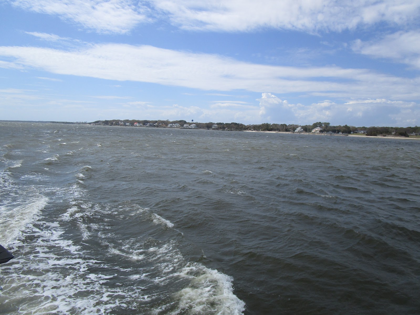
When we were not calculating arrival times, we enjoyed the sights on the waterway.

Crane on bridge

Here's one swing bridge we had to have opened for us

Open Swing Bridge

Crane used to Set Pilings by bridge

Bucket Truck and Crane on Barge
Clark said he would not want to be in the bucket working on electrical wires
and get "waked".
Yesterday, we saw the flamboyant pink and purple house. Today, we saw a more subdued pink house.

Another Pink House on ICW

Timing worked out for us on our bridge travels. We had to wait for one bridge for about 15 minutes. With the others, we arrived close enough to the scheduled opening times that we had minimal wait times to transit. Given our progress and the repeated positive results of our ETA calculations, Clark called the Swan Point Marina and canceled our reservation.


Swan Point Marina - we almost stayed here


In the mornings, we have no problems navigating the waters of the ICW as we have high tide. The afternoons, however, definitely present a challenge for Sunset Delight as we approach and enter low tide. Theoretically, this boat only requires four more inches of water beyond what Sea Moss demanded. As we traveled the waters, we paid very close attention to the advisories in Active Captain telling where to watch for "skinny" water, i.e. shoaling.

In one area where we focused on the channel markers and the readings from the depth finders, we noticed a boat rapidly approaching from our port side. At first we thought the boat to be Tow Boat U.S.; however, as the boat flew past us, we identified it as the US Coast Guard. The most notable difference - Tow Boat U.S. boats do not have machine guns on the bow. Fortunately, we had slowed almost to a stop to look for deep water, so we were not in their way as they zoomed by.

USCG whizzing past us and waving merrily as they flew by!

Immediately after our USCG encounter, we rounded a bend in the waterway and came to even less water depths than we had before. I tried to pilot as Clark read Active Captain notes to help find the deeper water. Whoops! We bumped bottom. Clark and I had a difference of opinion on where the deeper water sat. Fortunately we did not run aground and get stuck. We pulled away and found sufficient water to keep going.

Meanwhile, we were still worried about the upcoming bridge opening time and the Camp Lejeune transit hours. If we had to travel at much slower speeds due to depth concerns, would we make the bridge opening at 3:00 to get through the firing zone during an "odd" hour. Since we did not have too far to travel through the shallow waters, we did manage to get to the bridge prior to the 3:00 opening.

There we found a sailboat, Shipp Mates, waiting for an opening. We heard the captain of that boat calling "the military boat by the Onslow Bridge" but getting no answer. Clark then called Shipp Mates on the radio and told him about the transit schedule for Camp Lejeune. Prior to Clark's call, we heard the Shipp Mates captain tell the bridge tender that he had decided to give up and turn around. After Clark gave him the transit information, he called the bridge tender again and told him he had decided to continue on.

Waiting for Onslow Bridge near Camp Lejeune

Camp Lejeune in the distance

Bridge opened at 3:00 - Shipp Mates went first

As we neared the bridge, we heard Shipp Mates call the military boat to find out if it was safe to transit Camp Lejeune. With a positive answer, we continued on our way and passed the US Navy Patrol boat guarding the waterway.

US Navy Patrol boat by Camp Lejeune

As we entered Camp Lejeune, Clark and I looked nervously at the sign at the entrance flashing red lights. It indicated that live munitions firing was underway when flashing and advised that the reader of the sign tune to AM 530 for details. Clark and I wondered where we might find an AM radio, shrugged and kept moving. After all, we had permission to proceed.

We saw some interesting objects as we entered Camp Lejeune.

Targets for the shelling?!

Shortly after viewing the well-used targets positioned along the waterway, Clark and I heard BOOM. That was more than a little unnerving and even more so when we heard a second BOOM! We kept going with our fingers crossed for a safe transit.

Needless to say, we made it safely out of the firing zone. After exiting, a quick calculation showed us to be about one hour away from our destination for the night with an ETA of 4:45. The marina closes at 5:00, and we had to be sure we could get there before they closed for the night.

Along the way, we passed a lavender-colored house to add to our collection of pink and purple house pictures.

Lavender-colored House in NC

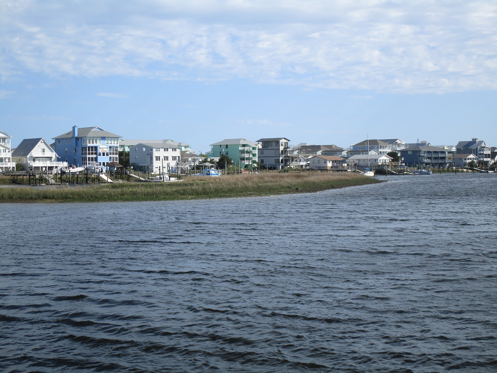
We arrived at Casper's Marina in Swansboro, NC at 4:30 and decided that we would walk the two blocks into town to have a look around. After walking around town, we ate dinner at the Swansboro Food & Beverage Co. followed by ice cream at Bake Bottle and Brew. Since we were in the restaurant when the sun went down, we missed tonight's sunset. As we walked back to the boat, we could hear boom, boom in the distance as the munitions firing continued into the evening.

Shops, Park Pavillion, and Restaurants in Swansboro, NC ...


Historical Markers ...


We used a walkway that passes under a major highway to reach Bicentennial Park on the water ...


Swansboro Bicentennial Park

Swansboro Bicentennial Park


Captain Burns - Hero of War of 1812
Statue at Swansboro Bicentennial Park
Historical Marker in Swansboro associated with Capt. Burns


Wednesday, March 29, 2017

Carolina Beach, NC - anchorage

3/28/2017

With a long travel day planned, we wasted no time dropping our lines from the free dock in Myrtle Beach and getting underway. Shortly after leaving the dock, we encountered some traffic blocking the waterway.

Boat traffic ahead - lots of it!

The captain of a small boat with an outboard yelled to us to keep to the right as we approached the bridge. He seemed frustrated when I told him I would comply to the extent we had enough water on the far right to do so. We certainly did not intend to run aground to let them have the full waterway width.

However, as we got closer to the boaters, a woman in another outboard-powered rowboat used her megaphone to tell them to move to the sides. They scattered in both directions. As Clark said, "So much for keep to the right". We now needed to go straight down the center.

Sculling Boat Crews

All but one of the crews pulled way over to the sides. We could hear the woman with the megaphone chastising that one crew for making us go around them. Slowly they too moved further over to the edge of the waterway. As we passed the last crew boat, we heard someone yell, "Thank you for the no wake!" Since Clark has a sculling boat, we know how unstable they are. He went past them all at idle speed.

One Sculling Boat - out of line

As we passed through this area, I got my first look at spring. Two beautifully landscaped houses had bushes in bloom.

Tiered Landscaping at one house and
Colorful Bushes Flowering for Spring at the neighbor's

Across the waterway, however, lay some landscaping done by nature for comparison purposes.

Spanish Moss on River Bank

Further on down the river, we saw some more interesting sights.

DANGER - ROCKS! 

In keeping with his desire to capture the "view down the tracks", Clark decided to take a picture of the "end of the road".

"The end of the road!"


Hot Pink House with Purple Docks - hard to miss this one!

SC Lighthouse


Just before leaving South Carolina, we saw two rather large ships at dock in North Myrtle Beach. They turned out to be floating casinos.


The Big M Casino - Ft. Myers Beach, FL (Home port)

Big M Casino 

A short distance down the ICW we passed the inlet that these casinos use to take their customers 3 miles out into the Atlantic where they can gamble to their heart's content.  Immediately after the inlet, we entered North Carolina.

As with South Carolina we saw the effects of Hurricane Matthew. We saw many docks in need of repair. Whereas in SC, we saw a few sailboats that had suffered badly from the storm, here we saw fishing boats that had paid the price.

Wrecked Fishing / Shrimp Boat
Another "dead" fishing boat further down the ICW

Continuing onward, we came upon a large waterfront property covered completely with campers of all shapes and sizes. I doubt there was an empty space anywhere!

Mammoth Waterfront Trailer Park

On our route, we have seen lots of boats working on the river. Today we passed one set that together made a very colorful picture.

Brightly-colored Work Boat

In North Carolina, as in South Carolina, the docks have to span the marshes to get people from their homes to their boats on the waterway. I still think the docks in South Carolina get the prize for the longest. Perhaps North Carolina gets the prize for closest long docks together.

North Carolina Docks

We traveled protected waters through South Carolina. What a contrast when we entered Cape Fear River in North Carolina! Here we found wind, current, and choppy waters. I looked back at my blog entry from last year and found similar conditions as we made our way through here to Bald Head Island.


Cape Fear River

Tug on Cape Fear River

After seven hours of traveling the ICW through the Carolinas, we were definitely ready to call it a day. Clark had identified an anchorage in Carolina Beach, North Carolina as our stop for the night. As we turned to enter the channel to the anchorage, however, we found the water to be too skinny to pass.

Clark tried several approaches to the channel. Each time the water rapidly dropped down to ridiculously low numbers of inches below the keel. The lowest we saw was 0.6". Yikes! As we struggled to find a way in, we heard a woman's voice come over the radio. "If you want to come in here captain, you'll need to hug the red marker."  Clark called back with a thank you and made his way through the channel entrance to the anchorage beyond.

View from Anchorage at Carolina Beach, North Carolina

Mooring Ball Field next to anchorage with $20 per day fee

Sunset in Carolina Beach, NC

House Windows reflecting sunset at Carolina Beach, NC