Wednesday 4/11/2018
Depart: Sanford Monroe Harbour Marina 9:50
Arrive: Murphy Creek Conservation Area 6:50
Distance: 68 nm
When we went
to bed last night, we still had thunder and lightening storms passing overhead.
When we woke this morning, the storms had passed as predicted. The temperatures
had dropped following the front, and we were back to long pants and jackets
once more.
While
staying in Sanford, we met many of the live-aboards on C dock where we docked. One of
them has a number of turtles living next to her boat. Each time we left the
docks we could look over and see the turtles swimming there.
 |
| Turtles at Monroe Harbour Marina |
We decided
that we should start our trip north on the river with an empty holding tank, so
before we left the marina, we stopped at the pump-out dock to take care of
“business”. Unfortunately, the pump out
did not form a very good seal, and it took a long time to get the job done. We
finally left the marina at 9:50. This was disappointing with a long day of
travel ahead of us.
Crossing
Monroe Lake, we came to the Port of Sanford / Monroe Railroad Bridge. This
bridge opens “on demand”. Although a train would soon pass over the bridge, the
tender told us to keep coming. The train turned out to be a very short one, and
she opened for us immediately after the train passed.
 |
| Train on Monroe Railroad Bridge |
Some time
later, well after we had transited the bridge area, we heard a vessel, Ocean Star, call the same railroad
bridge. In response to his call for an opening, the tender replied, “Yes, sir,
keep coming until you hit the bridge.” “Yes, mam”, he replied, “I’m on my way.”
The tender’s phraseology, and the captain’s response tickled my funny bone.
When we
passed through this area on the way to Sanford, we had a cloudy day. The colors
and scenes on the river came to life in the bright sun we had today. Not wanting to do a repeat stay at places we visited on the way to Sanford, Clark decided to make it a long day and head for Murphy Creek which was recommended to us by a boater at Sanford. We saw a lot of now familiar sights along the way.
 |
| Built-up Side Channel |
 |
| Cedar Grove |
 |
| City of DeBary |
 |
| Colorful Bimini Tops all in a row |
 |
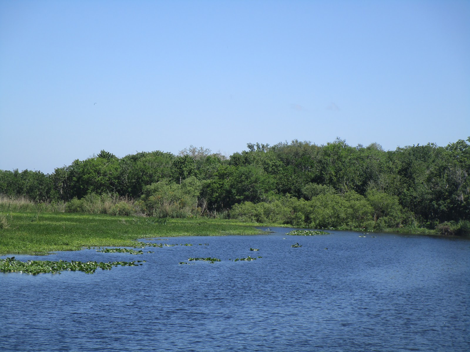
| Weed-choked waters |
 |
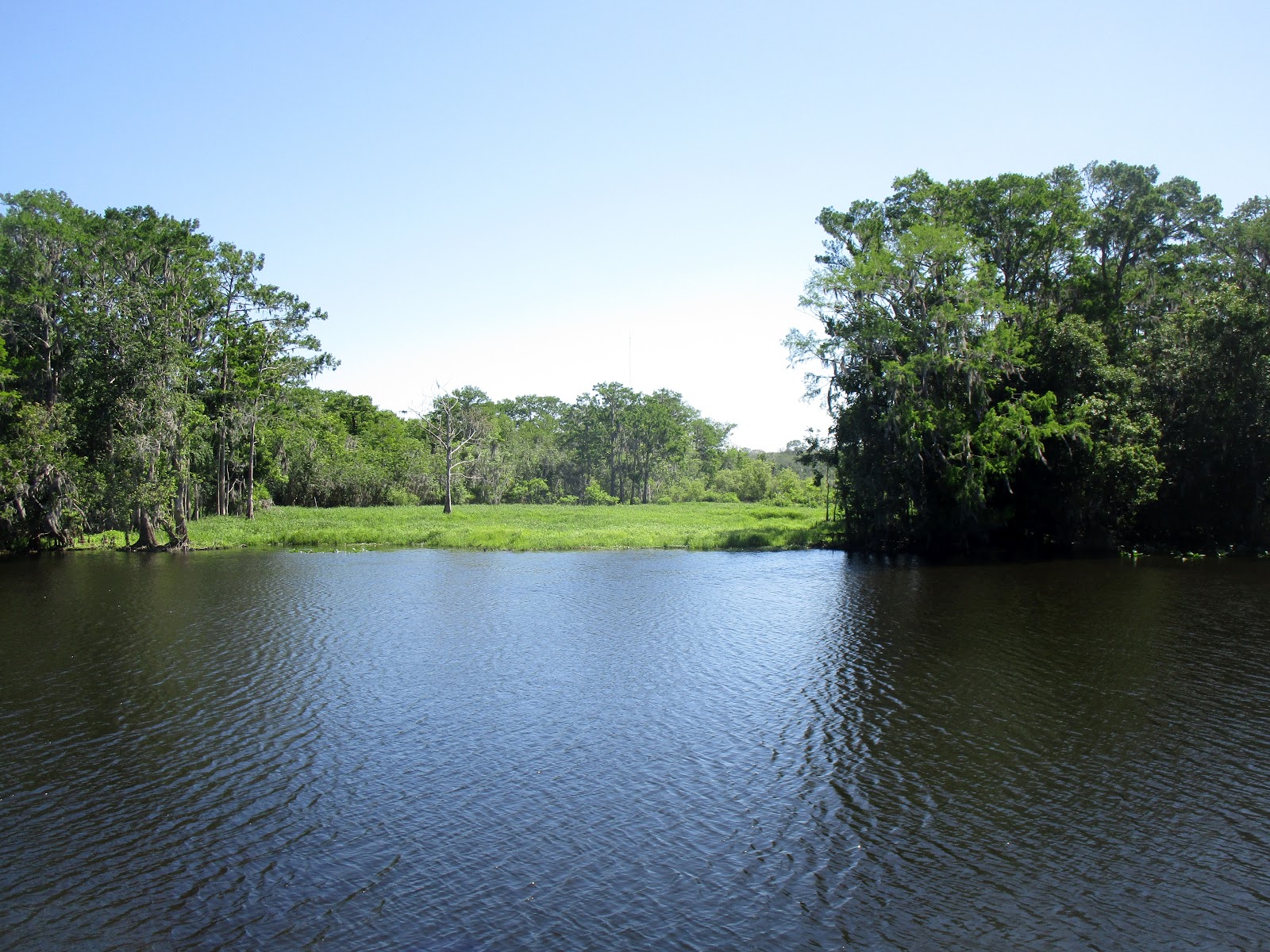
| Meadow-type area |
 |
| Typical Scene on the River |
 |
| Arched Foliage overhanging side waterway |
 |
Potential anchorage --
one we explored by dinghy and
rejected due to overgrowth of weeds |
 |
Kayaks and Houseboat …
Typical Traffic through the Blue Springs State Park area of the river |
 |
| Light-struck Lilies |
One of the kayak paddlers got way ahead of the others. She seemed to be oblivious to anything on the river including our 50+' boat following her down the center of the river. She finally woke up, saw us, and moved over to the side in a hurry.
 |
| Kayaks (one oblivious person up ahead) |
 |
Oxbow anchorage we explored by dinghy
when we visited Blue Springs State Park |
 |
| Other end of Oxbow |
 |
| Kayak Entrance to Blue Springs State Park |
 |
| Docks near Park |
 |
Our Anchorage Site
when we visited the park |
 |
Chart picture of Oxbow where we anchored
Oxbow enter / exit indicated by boat shown on chart
|
Having seen
everything on the way to Sanford, Clark passed by the anchorages we used and
considered as well as the docks at Hontoon State Park.
 |
| Hontoon State Park |
 |
| Docks at Hontoon State Park |
Whitehair Bridge is only 16’ Clearance, so we needed to have it opened for us. Other than the railroad bridges, this bridge has the least clearance allowance on the St. Johns River.
 |
| Whitehair Bridge |
Because it was out of the wind and in the warm sun, I sat on the
upper deck of the boat watching the riverside looking for reptile life.
Although I saw more turtles sunning themselves on logs than I could count, I
only managed to spot one alligator. I got turtle pictures but was not fast
enough on the trigger to capture a shot of the granddaddy-sized alligator I saw sunning himself on a downed tree.
 |
| Turtle taking in the sun on log |
 |
| Turtles sunning themselves on logs |
Clark spied
a houseboat hidden in a side channel.
 |
| Hidden houseboat |
 |
Later we saw another hidden boat –
this one on the main channel of the river |
 |
| River scenery |
 |
| A splash of color on an otherwise very green river. |
 |
| Typical river scene |
As we passed
under the Buffalo Bluff Railroad Bridge, I tried my hand at getting the “to
infinity” track picture.
 |
| Buffalo Bluff RR Bridge |
 |
“Looking down the tracks” picture
(almost) |
Finally,
after a very long day on the river, we arrived at Murphy Creek area where we
planned to spend the night. We had two choices – a free dock or dropping our
anchor. With the size of our vessel, we wondered if the dock would accommodate
us, so we were prepared to anchor. Seeing a wrecked boat near the free dock did
not invoke confidence in docking here, but the dock itself looked okay.
As we
passed by, fully intending to anchor, we made a last-minute decision to swing
by to take a closer look and were surprised to find a good-sized and sturdy
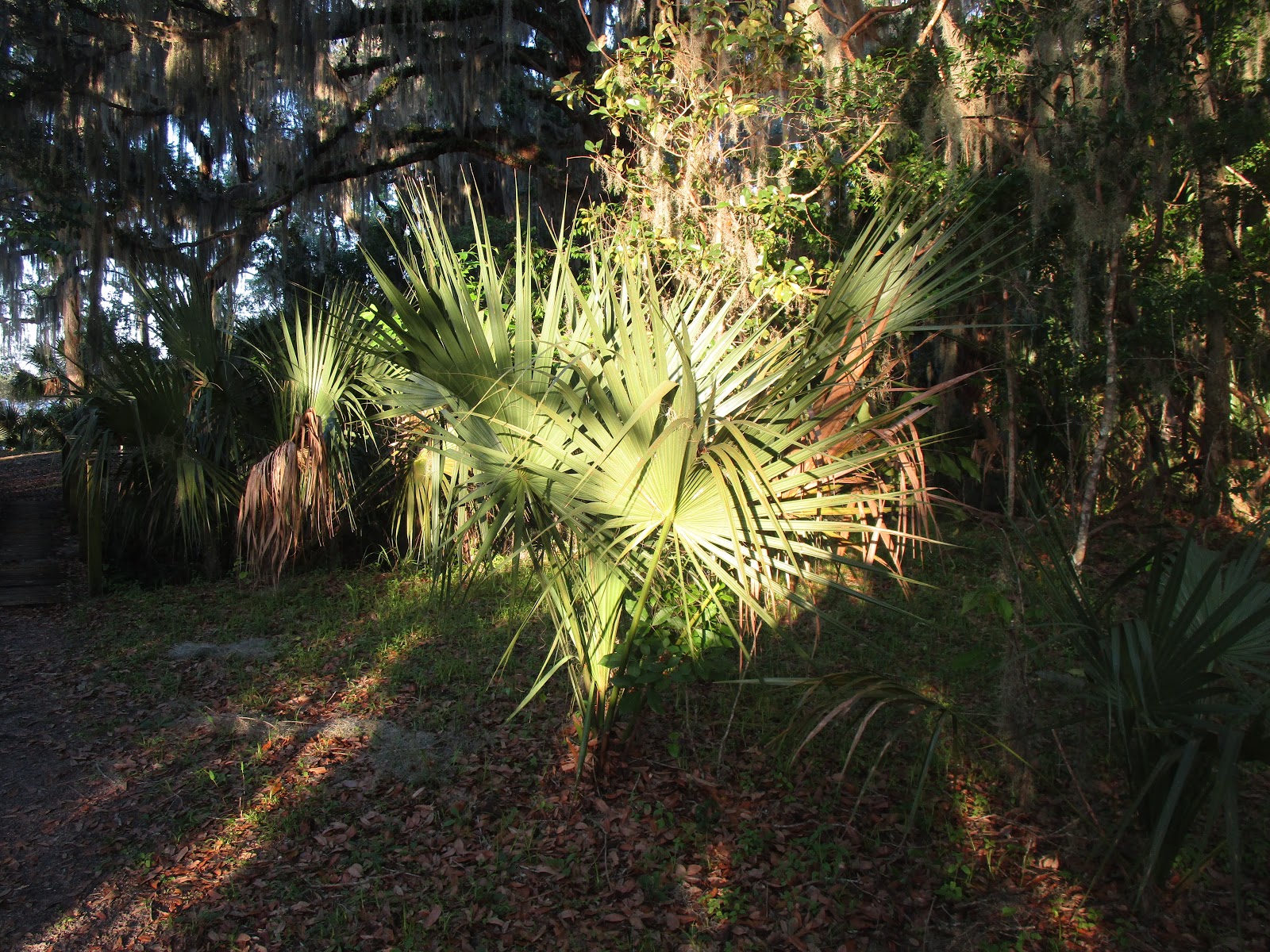
dock. We decided to tie up and take a look around the grounds which provide
trails for hiking and facilities for camping.
We tied up and went up to explore a bit before we lost daylight. After reading the campground rules and regulations that stipulated that an 8-inch hole must be dug to be used as a latrine by anyone camping here, I found it surprising to see a Port-o-potty on the grounds. How did it get here and who maintains it?
We crossed over a footbridge where we found an interesting collection of items at the campground. Two, not-overly-ripe oranges sat on a picnic table with a fire extinguisher nearby, and a well-used cookpot sat on the other table.
 |
| Walkway to Campsite |
View of wrecked boat from land
I cooked
while underway today, so when we finally got ready to eat, a quick reheat was
all that was required to sit down to dinner. The sun set while we ate, so Clark
popped up a couple of times to get the sunset picture of the day.
 |
| Sunset at Murphy Creek Conservation Area |


No comments:
Post a Comment