Depart: Cape Haze Anchorage 10:25
Arrive: St James City Anchorage 2:00
Distance: 29 NM
We woke to a "pea soup" morning at our anchorage. Clark walked out to take a picture and then came back in to give me the report.
 |
| FOGGY morning! |
By the time I was dressed, only a few minutes later, the fog had already started to thin. Since we had a relatively short distance to travel and no hurry to get to our destination, we took our time and started on our way mid-morning. Clark put on the radar and the AIS for safety because of the limited visibility.
Other than dealing with the fog issue, we had an enjoyable day on the water. Though somewhat humid, the temperature was around 75 degrees. I wore shorts and put on sunscreen, even with the overcast skies, because my worst sunburns in the past have occurred when I was out on cloudy days and caught unawares.
We had another one of those "can we make it under the bridge" adventures today. Doing the math of the sign board plus the extra allowance at the edge, we came up at 22' of clearance. Hmmm! Needing 21.5' made it an interesting and challenging question. Should we or shouldn't we??
As usual, Clark gave me the helm, so he could climb on the back of the seat to "spot" the clearance over the top of the hardtop. He decided we could make it, so I held my breath and kept on going. I heard no scraping of steel or crashes, so I figured we must have made it under. Afterwards, Clark reported that we had about a foot or more of clearance overhead as we passed under the bridge.

After we cleared the bridge, we had an obstacle course in front of us. An old bridge had been somewhat removed from the waterway. In front of us, I saw no apparent opening where we should pass. All I saw was a row of danger signs and lots of structural material blocking our passage.
 |
| Signs read "Danger Shoaling" with cement structures in between |
 |
| Here the signs read "Danger Submerged Piling" |
A little boat passed through a small opening (shown above) in between the "submerged piling" signs, so we waited for him to pass and then made our way through. As I steered the boat through the opening, Clark grabbed some pictures of what is left of the original bridge.
 |
| People standing on fishing pier made from old bridge remains. |
 |
| Trees / bushes growing on the blocked off sections. The birds have free reign here. |
 |
| Looking back ... with the old bridge remains in front, and the replacement bridge behind. |
Clark had plenty of opportunity and took lots and lots of fog pictures today.
 |
| Reduced visibility through most of today's travel. |
 |
| Fog and cloud cover |

 |
| Thankfully we had radar to help guide us on the channel. |
 |
| Boats would magically appear out of the fog. |
I found it surprising and a little unsettling that the small boats that passed us did not reduce their speed to accommodate the foggy conditions. Clearly, due to their size, they had neither radar nor AIS.
 |
| Twin silhouettes on a channel marker! |
Somewhere along the way the fog lifted enough for us to grab a picture or two as we passed the famous "Cabbage Key".


Playful dolphins joined us for a large portion of our trip today. Unfortunately, the bulk of them decided to come and surf along in our wake while I was busy making and eating lunch. I missed the best part of the show. Clark, however, somehow managed to eat his lunch, steer the boat, and take pictures of dolphins simultaneously. He got some not-so-great videos and some excellent camera shots like the ones below.
 |
| Splish |
 |
| Splash! |
 |
| Sometimes they come as singles and sometimes in pairs or triples. |
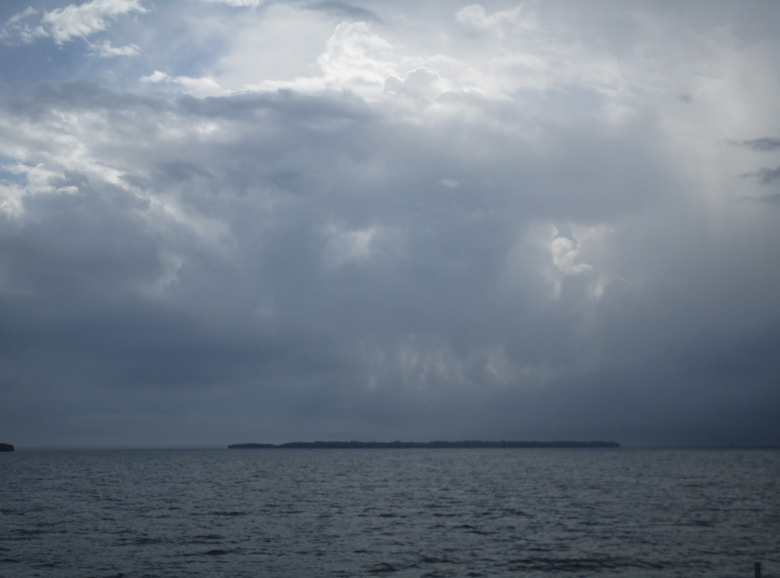
More clouds and fog ... It was interesting to see the clouds in the sky today. Unlike the other day, when our minds defined objects for us from the shapes the clouds made, today we just had lovely, artistic "brushwork" to admire.

 |
| Later, Clark had me check "Rainy Days" for the weather radar. "Is that a storm we are heading into? It looks ominous!" |
 |
| No storm here. Just clouds and fog. |
Towards the end of today's journey, we saw a confusion of boats up ahead. From a distance, we could not decide what they were doing ... passing each other, rafting next to each other, ??? Finally Clark said he thought one might be towing the other. As we got closer, we discovered that the lead boat was towing a dinghy behind his boat and a houseboat behind the dinghy. Behind all that he was pulling a sea anchor. It made quite a parade as we passed.
I looked and no one appeared to be aboard the houseboat. Perhaps the captain just decided to relocate his home. As he entered the "miserable mile" on the Caloosahatchee River, he gave a security warning to any on-coming boaters. I asked Clark why the captain felt the need to give out a "Security" call. He replied, "... because it is a narrow channel with lots of cross currents. He might have to 'crab' going down the channel and take up lots of space to make passage."
 |
| Boat towing dinghy and houseboat with Sea Anchor behind for stability. |
We planned to drop anchor tonight near J N Ding Darling National Wildlife Refuge. However, with the wind direction, we decided to look elsewhere. The anchorage we chose instead was across from Ding Darling near St. James City, Pine Island. We cruised over to look for a spot and found some sailboats already at anchor there.
Finding a spot for ourselves turned out to be rather daunting. Everywhere we looked we could see crab traps. It looked like a proverbial mine field. Some of the round black pot markers even looked like cannonball-shaped bombs, ready to explode, just daring us to try and come in there to drop an anchor.
Since Clark felt that space was a bit too unprotected from the wind, we made our way closer to St. James City where we found wide open space to drop an anchor. Even though we anchored within sight of a "slow speed, no wake" sign, we got "waked" a few times by passing speed boats.
Clark must have an internal clock for sunsets. I thought he would miss tonight's view as he laid dozing on the sofa. Magically, at prime photo-taking time, he popped up and went out with his camera to start taking pictures.
 |
| Sun going down near Pine Island, St. James City, FL |


Fortunately, after the sun went down, the boat traffic and subsequent rocking stopped to allow us a good night's sleep.
No comments:
Post a Comment