Day 123
NM Today: 33
NM Total: 2438
Locks Today:
0
Locks Total:
87
Between the
trip up river and a bike ride that we took as soon as we docked in Chattanooga,
I have more great pictures than I can possibly upload. I sorted through the list multiple times and
really struggled to pick out ones for today’s blog.
We started
out the day under cloud cover but no rain.
The forecast for the next three days, precisely when we will be in
Chattanooga, is for rain, rain, and more rain.
Clark bemoaned the fact that he had no sun for his photos today. I was happy that we could travel without
rain.
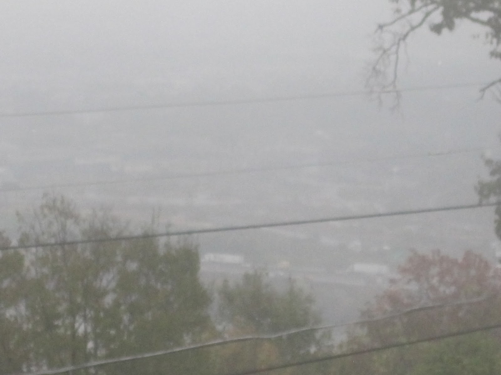
 |
| Fog at Shellmound |
As the bird
flies the distance to Chattanooga from our prior night’s stay is not far;
however, the river twists and turns like a snake and turns back on itself several times along
the way. At one point along the river we
were one mile from Chattanooga by land and eight miles still to go by water.
 |
Chart showing the river
wrapping around Raccoon Mountain |
As we
twisted and turned our way to Chattanooga, we saw lots of beautiful
landscape. We passed through the “Grand
Canyon of the Tennessee” which is a gorge carved through the mountains. The
chart shows the names of the various parts of the river through the gorge – “The
Skillet”, “The Pot”, and “The Suck”.
Those names were chosen because the churning waters made early pioneer boaters think of
boiling water such as when food is being prepared. In our travels up river we passed by Signal Mountain,
Raccoon Mountain, and Lookout Mountain.


We passed by
some interesting landmarks along the way as well. Including the old Hales Bar lock and the
Raccoon mountain water reservoir. The
Hales Bar hydroelectric plant is one of Tennessee’s most historic
structures. A bill passed in 1904
authorized construction which took eight years to complete. When completed it became the world’s second
largest hydroelectric generating plan with only Niagra Falls being larger. Numerous problems occurred with the structure and the locks became too small to accommodate the tugs requiring passage. As a result the dam was
dismantled and replaced by the Nickajack Dam in 1968.
 |
| Abandoned Hales Bar Hydroelectric Plant |
 |
Opposite Bank of River
Shows Old Lock Walls with Doors Removed |
The tunnel
structure at Raccoon Mountain was another interesting sight along the
river. A power plant embedded in this mountain
behaves similarly to a battery ready for use only this “battery” supplies water
when needed. During periods of low power
demand, water is pumped from the river to a reservoir on top of the
mountain. When demand for power occurs,
the water is released via a tunnel drilled through the mountain.
 |
| Raccoon Mountain underground power plant |
 |
Raccoon Mountain Tunnel
where water is released when power is needed |
We landed in Chattanooga around 3:00 Eastern Time. Part way through today's journey we switched over from Central Time to Eastern Time resulting in a loss of an hour of tourism time. The loss of the hour plus the miserable weather forecast for the next few days prompted us to pull out the bikes and get going as soon after docking as possible. The Chattanooga River Walk trail from the Aquarium to the Chickamauga Dam was on our top priority list for things to do here.
The bike trail is about 8 miles from one end to the other. Of course we biked it both ways so we racked up 16 miles on our cute little fold-able bikes. I don't think there is a day goes by when we are using them that we don't get comments and compliments on our bikes. Two common questions are "Where do you get a bike like that?" and "How much does a bike like that cost?" Today we had some interested looks and a young family that were fascinated by the bikes and wanted a demo of the "kick stand" position of the bike.
I love bike trails and today's was one of the best I have ridden, The views were great and unusual - we never knew what we would see around the next corner. The path is mostly flat and well-kept, so biking was smooth without ruts and holes in the pavement. Historic markers appeared periodically detailing important places, events, and people along the way.
With all the fascinating sights, it was hard to make progress on the way to the dam as Clark stopped regularly to capture picture after picture. He was mesmerized by a group of adults and kids sledding down a hill on large pieces of cardboard. The cardboard worked really well as a sled on grass.
 |
| Sledding on Cardboard |
Moving along the river we came to the American Queen which is a Mississippi River-based riverboat that makes an annual autumn civil war commemorating visit to Chattanooga, Tennessee. We were lucky to be here while it is visiting.
 |
| American Queen Riverboat |
As we passed by the Chattanooga Aquarium we saw a set of stairs leading down to the river where people could walk and play in the water running down the stairs. My granddaughter, Sierra, would love this attraction as she loves to climb stairs and play in water. The combo would be perfect for her.
 |
| Waterfall Stairs |
On the trail to the dam we passed by multiple sculptures and art work along the River Walk. We eventually figured out that some of the metal sculptures were actually mile markers counting miles on the trail starting from the Chickamauga Dam.
 |
| Mile Marker for Mile "7" |
Some of the other items of interest and views are shown below.
 |
| Bluff View Overlook |
 |
| View from River Walk Bridge |
 |
| "Great Blue Heron with Olive Branch" sculpture |
 |
| Mile Marker "1" at the Chickamauga Dam |
 |
| High-five Dog Sculpture |
The trip back to the boat was much much faster than the ride out to the dam as we did not stop every so many feet for a photo op. After 13 or so miles of bike riding, however, my thighs decided to plead mercy. Although the trail is classified as "mostly" flat, the "not mostly" part took its toll after a while. Some of the rolling hills similar to those I could handle on the way to the dam had to be walked on the way back as my thighs were screaming for relief. To add to my discomfort, we had been biking since 3:00 and it was getting on for 6:00. I used up all the fuel I had eaten for lunch and I was getting to the point where I was starving.
When we got back into the heart of the city, we found an ice cream shop for a treat to hold us over until I could make dinner. It was a "make your own" flavor style shop. Vanilla ice cream or yogurt is the base and the customer can select from a wide variety of items to make their own ice cream flavor. I, of course, chose peanut butter. It was delicious.
After we left the ice cream shop we ventured out onto the Market Street bridge a short distance just for a look around.
 |
| Market Street Bridge for bikes and pedestrians |
From there Clark wanted to visit Tom on ePAD so we stopped by to see them. Remember those waterfall stairs? Well we walked, i.e carried, our bikes down the dry side of those all the way down to the waterfront only to find them not at home on their boat. I was annoyed then that I had to carry my bike half way back up the stairs to get back to the level of the River Walk. I had suggested to Clark that he call before we went down there, and he would not, so we made the trip down for nothing.
 |
| Stairs I carried my bike down and then up |
We finally made it back to the boat just in time for me to make dinner. Thankfully the ice cream kept me going long enough to get dinner on the table. After dinner I worked on my blog until it was way past time for bed.